

COXING AND COACHING BOATS ON THE TIDEWAY
Two important points for coxes and coaches:
1 - The cox is legally responsible for the boat and the people in it. It is down to them to navigate the Tideway correctly and to keep both the boat and the crew safe and in the correct place on the river. They are in command of the boat and are answerable to the PLA. It is the responsibility of the cox / steers person to ensure that they have full knowledge of the tideway navigation rules and regulations.
2 - The coach is responsible for the safety and correct navigation of those not signed off, however he/she is answerable to the club. The cox remains legally responsible for the boat. The coach has a better view point of the river but is not in command of the boat.
Anyone responsible for a boat on the Tideway has to meet a certain level of ability and be signed off in accordance to Sons of the Thames safety criteria. Coxes will need to complete the test in an 8+ (or a 4+ if that is the largest boat they will be coxing) as well as the tideway navigation theory test.
Useful link to help understand the theory test

SAFETY LINKS

DAMAGE AND INCIDENT REPORTS
USEFUL LINKS
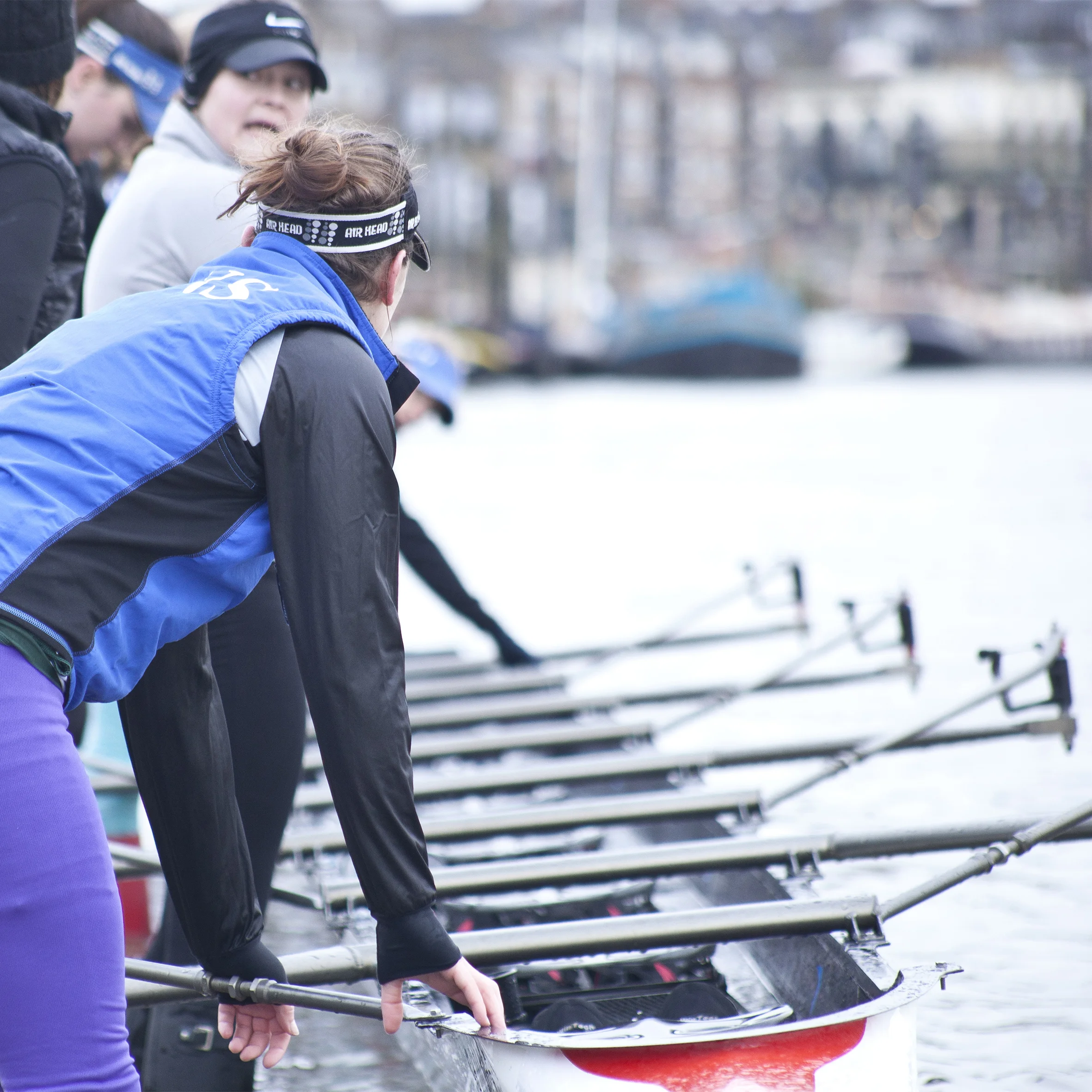
BOAT HANDLING AND CALLS

ROWING ON THE TIDEWAY
POWER BOAT 2 Courses and Qualifications are available through our sister club, LCSC. Please ask our Safety advisor if you are interested
SAFETY CONSIDERATIONS
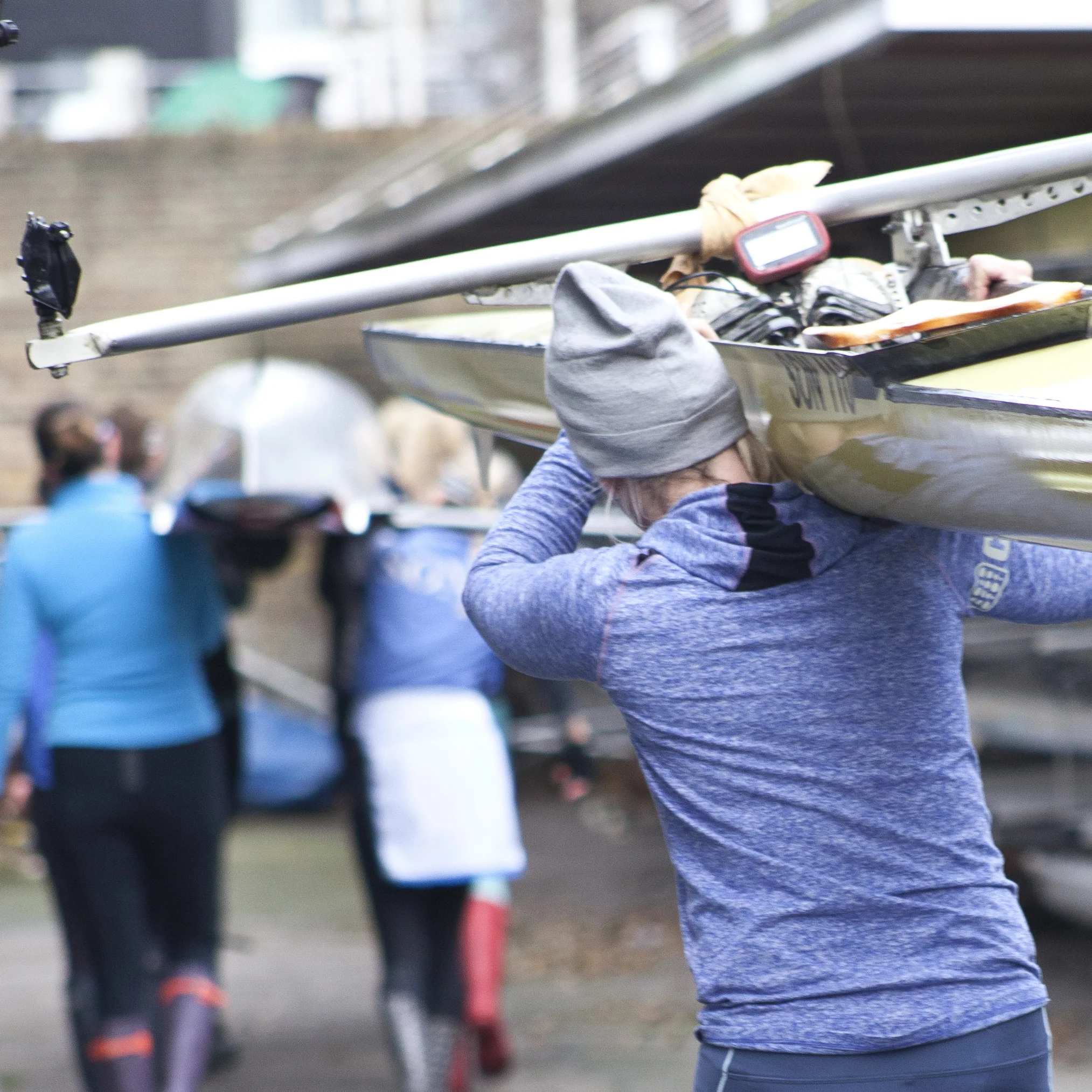
Be careful of falling from the ramp, it has no handrail. Consider whether you need extra people to carry a boat down the ramp in high winds - especially if you are a single sculler.
Be aware that the river contains some harmful organisms. Keep blisters or cuts covered and clean them thoroughly at the earliest opportunity
Keep an eye on any cuts or grazes that seem to be infected and be prompt in seeking medical help. We have had a case of a "flesh-eating" bug some years ago.
Consider wearing clothing to protect your calves from the slides which can cause some abrasions and cuts. Also, be aware it is possible to row, and even scull, in tight-fitting gloves.
RowSafe indicates that the launches should contain: First Aid kit in a waterproof bag, checked monthly, a throw line, minimum toolkit and spares for the engine (if necessary), safety knife with rope cutter, foil blankets or “Bivvi bags” enough for the passenger load capacity of the launch (which is five), spare PFDs, length of spare rope, anchor and line appropriate for the conditions (if necessary), boathook, spare kill-cord for use in the event of the driver over board, audio signalling device, bailer, paddle, simple handholds fixed to the side of the launch to provide assistance to a person being rescued and to provide self help should the driver fall overboard. Many of the smaller items are in the launch safety bags and must not be removed.
ASSESS RISK BEFORE GOING OUT
Before every outing, consider the risks:
Water conditions, specifically the height of the tide, rate of stream, wave size and wind. Be aware that wind conditons can change dramatically from one reach of the Tideway to the next
Visibility - you should not go out if you cannot see Hammersmith Bridge from Linden House
In icy conditions be careful about slipping, especially on the ramp and pontoon
When the river is cold be especially cautious about falling in
DOVE PIER IS DANGEROUS
Dove Pier is genuinely dangerous if you get washed onto it, particularly when the tide is strong. DO NOT TURN TOWARD DOVE PIER once you have passed Latymer's pontoon heading down-river towards Hammersmith Bridge. Turn the other way, onto Surrey bank to avoid the pier. Coming up river on the flood tide, aim to pass under Hammersmith Bride under the word BRIDGE. Be wary of the large green navigation buoy placed to mark Dove Pier, as well as the pier itself. This is the most prominent hazard near the club, but there are many others.
If you have any questions or concerns, have a chat to our safety advisor at safety@sonsrowing.com
Map of the Tideway
This map is of the stretch of the Thames called the Tideway. If has reference points that all river users will understand as a form of location communication.
